Local & Offshore
Fishing Spots
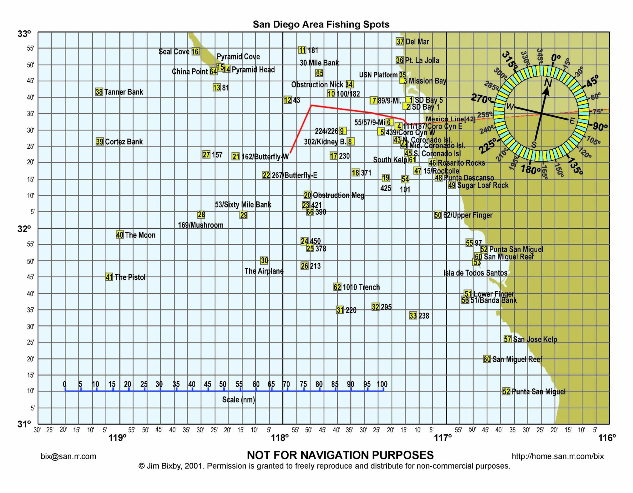
This page is a listing of the designated fishing spots for the Southern California and North Baja area. This fishing spots are positions that should be in your navigational computer. These are important to help guide you to well know spots by most all anglers.
Notice that you can zoom and expand! You can zoom in an out of this map. You will see that the fishing spots expand into a larger or smaller area. This map is VERY Helpful to give you a good overview of spots as you determine your fishing trip
VERY HELPFUL FILES:
Each of the three files that you see all have the fishing spots coordinates in a single database file. Different programs may allow you to import a GPX, KML, or KMZ file. One of the great things you can do is import the GPX File into the Windy App on your computer. This allows you to see weather and swell conditions at a specific fishing spot at any time in the present or future.
General Notes
The GREEN line shows the 75 Fathom curve along the coast and around the islands.
The YELLOW line shows the 60 Fathom area inside of the COW COD CONSERVATION AREA
The ORANGE line shows the COW COD CONSERVATION AREA
The WHITE line shows the SWYC COMPETITION BOUNDARY & the USA/MEX BORDER
CLick on any Fishing Spot
When you click on any fishing spot, you will see the name & GPS coordiantes of the specific area. You can add these coordiantes and name to your navigational computer. Notice that many of the fishing spots are on major structure that is on the ocean floor. This map designates the 9 Mike Bank and all the other banks in the Southern California area.


